la metro:
mobile augmented reality experience

Project description
Client
Los Angeles County Metropolitan Transportation Authority
1
Type
2
Mobile WebAR Website
Timeline
3
2024
Role
4
UX & UI Designer
Contribution
User interface & design systems
Content organization & user journey
Experience & functionality optimization
QA testing
5
Credits
900lbs team (3D art, development)
6
Overview
To support public planning discussions around the Vermont Transit Corridor, we teamed up with city of LA to explore an Augmented Reality (AR) experience that would allow community members to visualize proposed transit station designs directly on top of printed corridor maps.
The goal was to create an interactive and accessible tool that helps participants better understand how potential station designs would integrate into existing neighborhoods.
The challenge
Transit planning concepts are often communicated through technical drawings and static maps, which can be difficult for community members to interpret.
The solution needed to:
Help the public visualize future transit infrastructure
Present complex planning concepts in an intuitive and engaging format
Be accessible without requiring complex software downloads
Account for a short 3-week development timeline, requiring rapid design & implementation
The solution
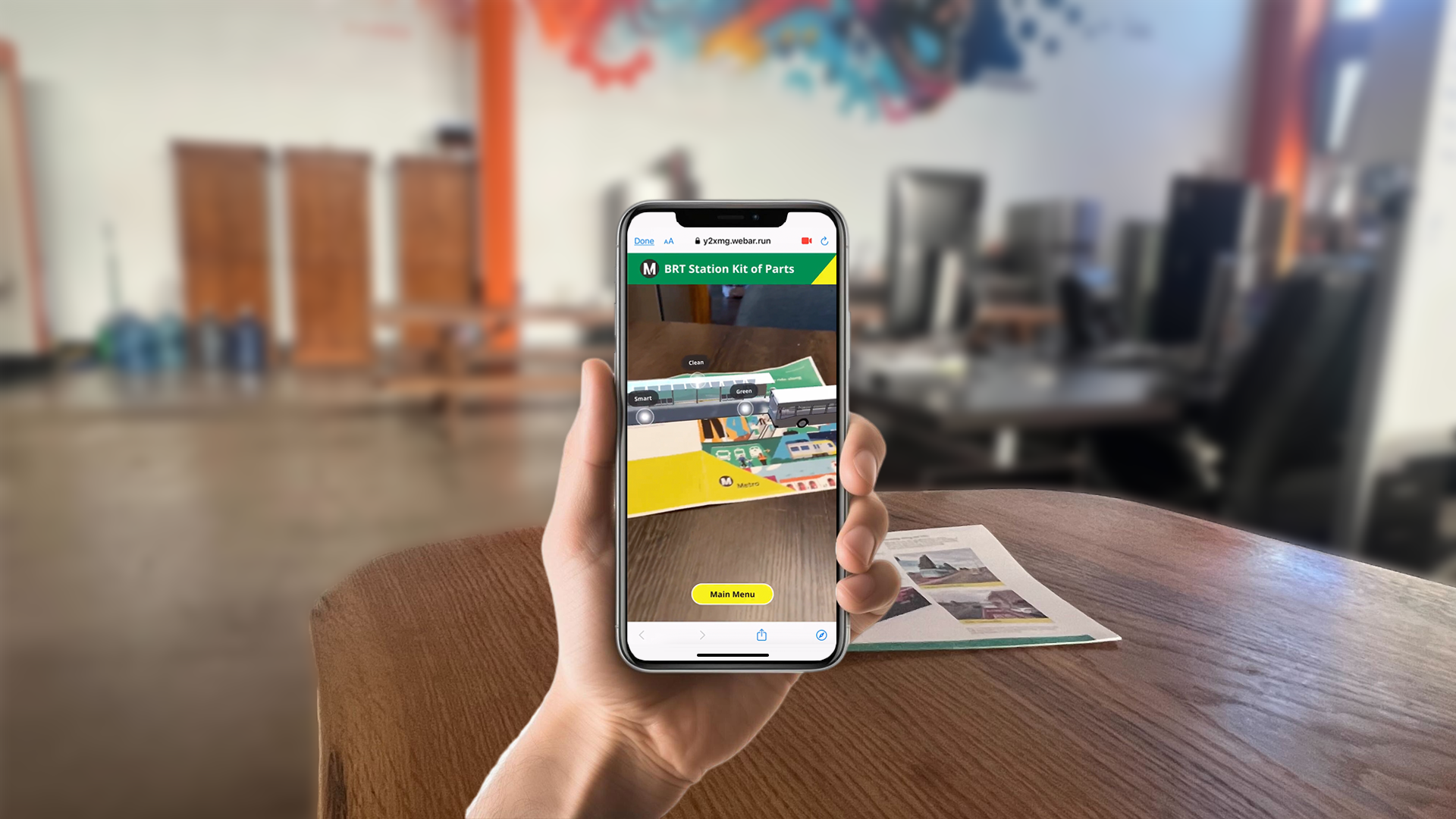
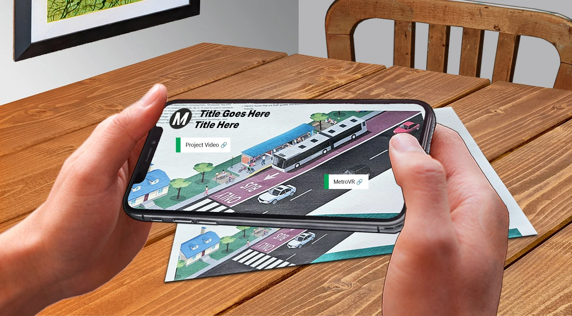
The team designed a mobile AR experience paired with a WebAR factsheet, allowing users to explore proposed station concepts through an interactive and immersive interface.
Participants could scan a corridor map with a phone to reveal 3D station models, explore design options, and engage with prompts that encouraged discussion around transit planning decisions.
concept art #1
concept art #2
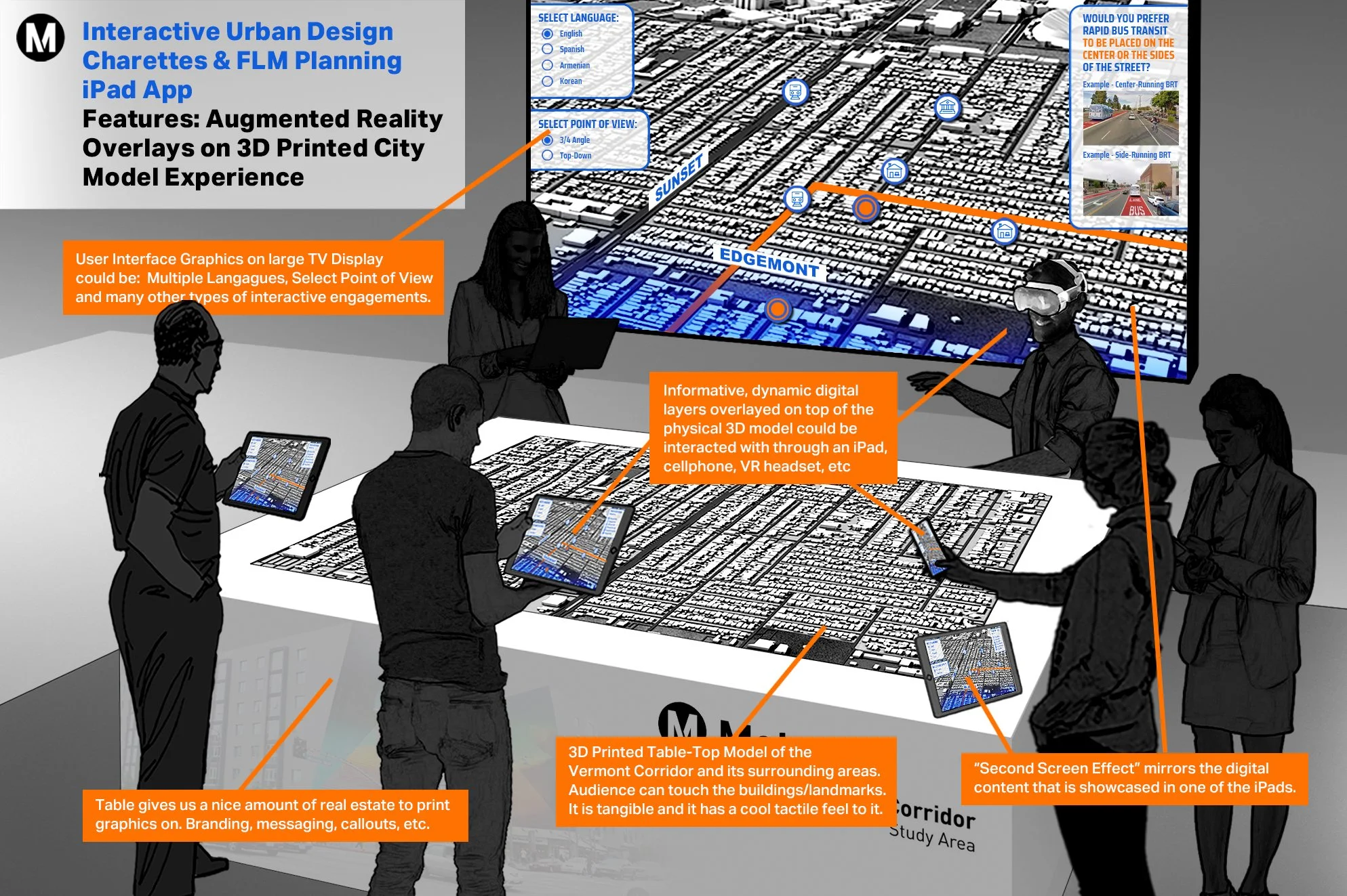
concept art #3
mid-fidelity prototype
Augmented reality station exploration
Using a mobile device, users can launch an AR experience that overlays 3D station models directly onto the map.
Users could explore multiple station concepts across key intersections along the corridor.
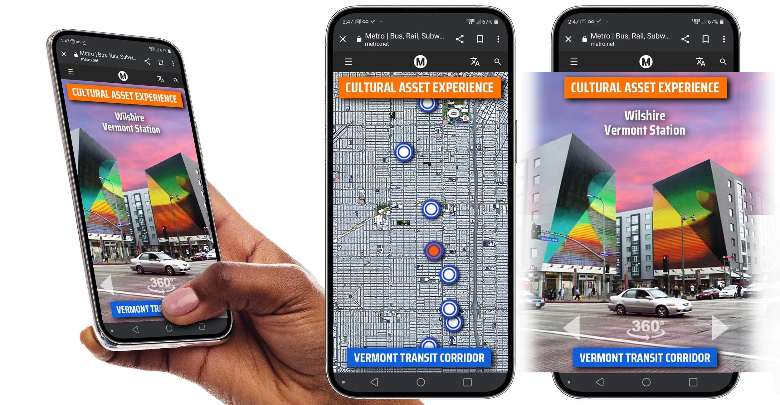
Web AR Information Experience
Allowed users to access AR experiences and supporting information directly through their mobile browser.
Design principles included:
1. Ease of use: Intuitive and quick to use
2. Accessibility: No app downloads required
3. Immersive Learning: 3D visualization to help translate complex information
4. Scalability: Suport future updates
Results & Impact
Helped community members visualize proposed station concepts in context
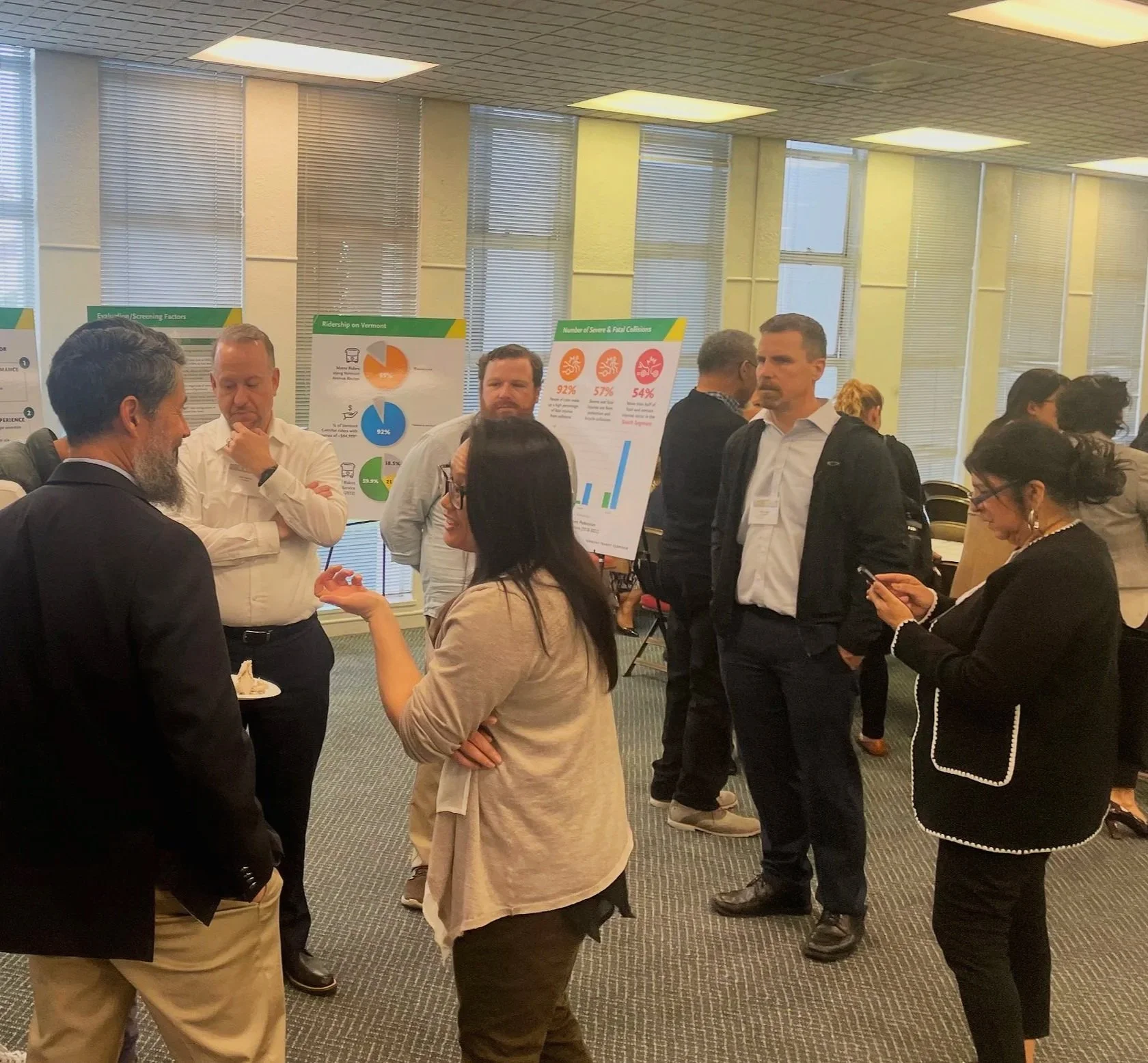
Encouraged interactive discussion during planning workshops
Reduced reliance on static planning documents
Created a scalable digital engagement platform for future transit planning phases
Why it worked
The experience made complex transit planning concepts easier to understand by allowing community members to visualize proposed station designs directly on top of corridor maps using augmented reality.